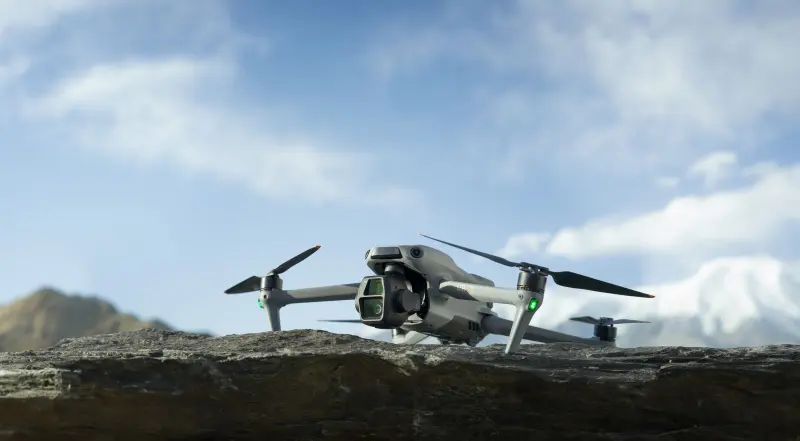
Same spot, a windier hour · DJI Mini 4 Pro
Can I fly my drone here?
Pick a spot and your drone. You get one answer, with the reasons: no-fly zones, airspace near airports, the 400 ft ceiling, wind and daylight.
Check a spot
Sample readingThe live check needs JavaScript. The reading below is a sample.
Go
Good to fly in daylight until sunset, 5:37 PM.
Wimberley, TX (center point) · Fri, Nov 13 · Checked 7:31 AM CST · DJI Mini 4 Pro · Recreational rulesPart 107 rules
Next hours · gusts at 200 ft, mph
Next hours
Gusts at 200 ft, mph- Now 7 AM12
- 8 AM11
- 9 AM9
- 10 AM11
- 11 AM11
- 12 PM9
Wimberley, TXDJI Mini 4 Pro · Recreational rulesPart 107 rules
Rules for this spot
- Airspace
- Class G, no authorization needed.
- Check
- Ceiling
- Stay at or below 400 ft above the ground.
- Check
- Flight restrictions
- None found for this spot and time.
- Check
- Visibility and cloud
- 10 statute miles, no low cloud.
- Check
- Visibility and cloud
- Visibility 10 statute miles; Part 107 needs at least 3.
- Check
- Daylight
- Sunset 5:37 PM, 10 h 06 min left.
- Check
Flying conditions
Advice from maker ratings and forecasts, not FAA rules.
- Wind at 200 ft
- 5 mph, gusts 12 mph; drone rated for 23.9 mph.
- Check
- Kp index
- 0: no geomagnetic storm.
- Check
- Temperature
- 51 F, within the maker's range.
- Check
Part 107 asks you to check local weather before every flight.
Where you are
1 SQUARE = 3 NM · AIRSPACE FROM THE SURFACESAMPLE MAP · NOT FOR NAVIGATION
What the other answers look like
Two examples
Yosemite Valley, CA · any drone · any rules
Yosemite National Park bans launching, landing or flying drones from park land and water without the Superintendent's written approval.
Five more tools
Each one answers a single question and shows its reasons. All of them follow the rules switch at the top of the page.One question each, with the reasons.
Flying weather
Open flying weatherGusts at 200 ft against your drone's limit, hour by hour. Sample reading: Spicewood, TX, this afternoon.
This drone's limit: 24 mph
For DJI Mini 4 Pro · Spicewood, TX · today
Best window: daylight, now until sunset at 5:36 PM.
Gusts stay under this drone's 24 mph limit until 7 PM.
Daylight to 5:36 PMNight after 6:01 PM
At night, fly only if your CBO's guidelines cover night.Lights required from sunset, 5:36 PM.
Drone picker
Open the pickerThree of the picker's questions; the top match changes as you answer.
Part 107 practice test
Sample questionYou want to fly 350 ft above ground next to a 1,200 ft tower. How high may you fly within 400 ft of it?
Pick an answer to see why.
The answer is C. Within 400 ft of a structure you may fly up to 400 ft above its top: 1,200 plus 400.
Compare drones
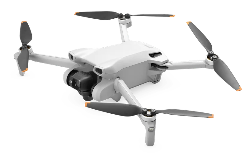
Compare any twoBoth stay at 0.55 lb (249 g) or less with the standard battery, so neither needs FAA registration when flown for fun. By the makers’ figures the Mini 4 Pro flies about 16 minutes longer per battery.
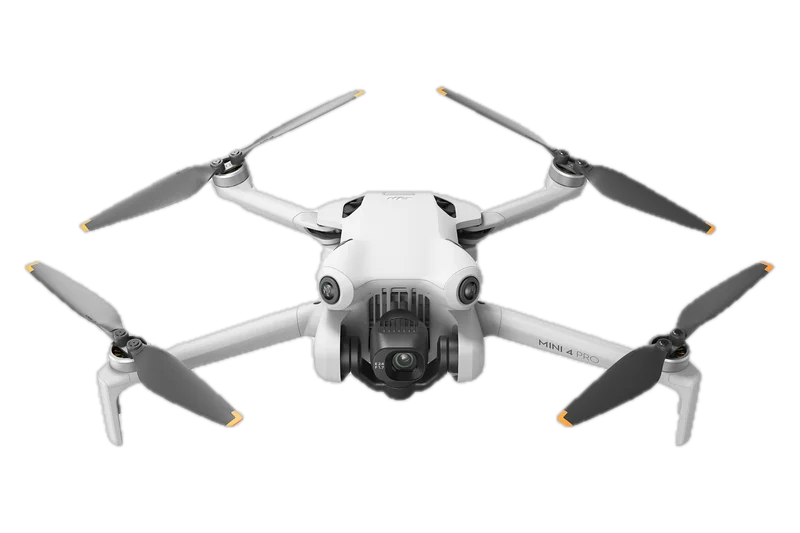
Under 0.549 lb (249 g)
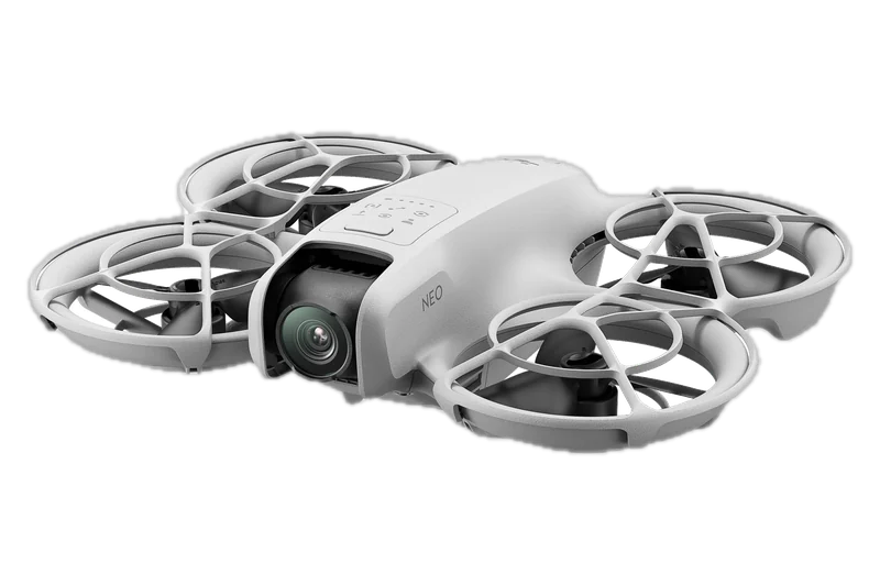
About 0.298 lb (135 g)
- Flight time
- 34 min45 min with a larger battery
- About 18 min
- Top speed
- 35.8 mph16 m/s
- 35.8 mph16 m/s
- Size
- 5.8 × 3.7 × 2.5 infolded, without propellers
- 5.1 × 6.2 × 1.9 inthe one size printed
- Camera sensor
- 1/1.3-inch
- 1/2-inch
- Register for fun
- Not needed
- Not needed
Compare these two in fullWeights, sizes and times are the makers' own figures.
Do I need to register?
For DJI Mini 4 Pro · Recreational rulesPart 107 rulesChange
No, not this one.
Yes, register it.
It takes off at 0.55 lb (249 g) or less and you fly only for fun.Under Part 107 every drone is registered, whatever its weight: $5, valid three years.
NO REGISTRATION IF FLOWN FOR FUNALWAYS REGISTER
Recreational rules: flown for fun at 0.55 lb (249 g) or less, no registration, so no Remote ID. Under Part 107 every drone is registered.
Also out: the live TFR map and the density altitude calculator. Each tool that is out has its own page, listed with what it answers and when it was checked. All drone tools
The rules, step by step
Five steps for your drone under your rulebook, in the order you meet them. Each one ends in the thing to do next.
For DJI Mini 4 Pro · Recreational rulesPart 107 rules
Recreational · your rulebookPart 107 · your rulebook
Step 1: Pass TRUST.
Free online safety test; keep the certificate with you.
Step 2: No registration needed.
It takes off at 0.55 lb (249 g) or less and you fly only for fun.
Step 3: No Remote ID needed.
Remote ID applies to drones that are registered or must be. Unregistered, this one needs none.
Step 4: Stay at or below 400 ft.
Near airports in controlled airspace, get authorization first (LAANC or FAADroneZone) and stay at or below the altitude it gives you.
Step 5: Keep it in sight.
Give way to crewed aircraft.
Step 1: Pass the knowledge test.
Earn the remote pilot certificate, then keep it current with online recurrent training every 24 calendar months.
Step 2: Register this drone.
Under Part 107 every drone is registered, whatever its weight: $5 each, valid three years.
Step 3: Broadcast Remote ID.
Remote ID applies to every drone that is registered, so this one broadcasts it.
Step 4: Stay at or below 400 ft.
Within 400 ft of a structure you may go up to 400 ft above its top. In controlled airspace, fly only with authorization (LAANC or FAADroneZone).
Step 5: Keep it in sight.
Keep it in your own visual line of sight and give way to all other aircraft.
Flying for work? Part 107 is a different route: knowledge test, certificate through IACRA, registration with Remote ID, its own limits, and online recurrent training every 24 calendar months. The switch at the top changes every tool and page.
Flying only for fun? The Recreational route is shorter: pass TRUST, register only over 0.55 lb (249 g), and stay at or below 400 ft in uncontrolled airspace. The switch at the top changes every tool and page.
Part 107 · other rulebookRecreational · other rulebook
Three drones, one scaleDrones, drawn to scale
Weight decides the paperwork, so it leads every model page. Two of these sit at or under the 0.55 lb (249 g) line, one sits over it.
100 mm · 1 px = 1 mm · every drone drawing on this page uses this scale
DJI Neo
Full propeller guards, palm takeoff.
- Weight
- 135 g (4.8 oz)
- Flight time
- 18 min
- Width
- 157 mm
Check0.55 lb (249 g) or less: no registration when flown for fun.
RegisterUnder Part 107: register it, $5, valid three years.
DJI Mini 4 Pro
4K at 60 fps HDR, obstacle sensing in every direction.
- Weight
- Under 249 g (8.8 oz)
- Flight time
- 34 min
- Width
- 373 mm
Check0.55 lb (249 g) or less: no registration when flown for fun.
RegisterUnder Part 107: register it, $5, valid three years.
DJI Avata 2
FPV, with built-in propeller guards.
- Weight
- About 377 g (13.3 oz)
- Flight time
- 23 min
- Width
- 212 mm
RegisterOver 0.55 lb (249 g): register it, $5 for three years.
RegisterUnder Part 107: register it, $5, valid three years.
DJI Mini 4 Pro
- Weight
- Under 249 g (8.8 oz)
- Flight time
- 34 min
Guides, sorted by the job
Not by audience. Whoever you are, you came here to get something done.
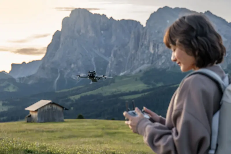
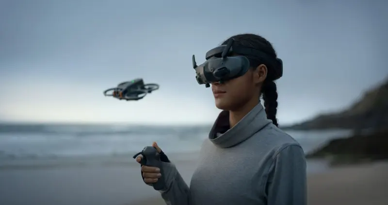
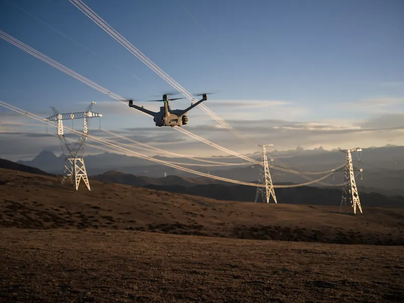
Work
Getting paid to fly: the jobs, the pay, and the specialties that pay for the drone.
Drone pilot jobsTrackers and news
Some answers change. The three trackers are rechecked every week, and every figure on them names its source.
DJI in the U.S.: status tracker
Where DJI stands in the U.S. right now: what is restricted, what still works, and what changed since the last check.
Checked weekly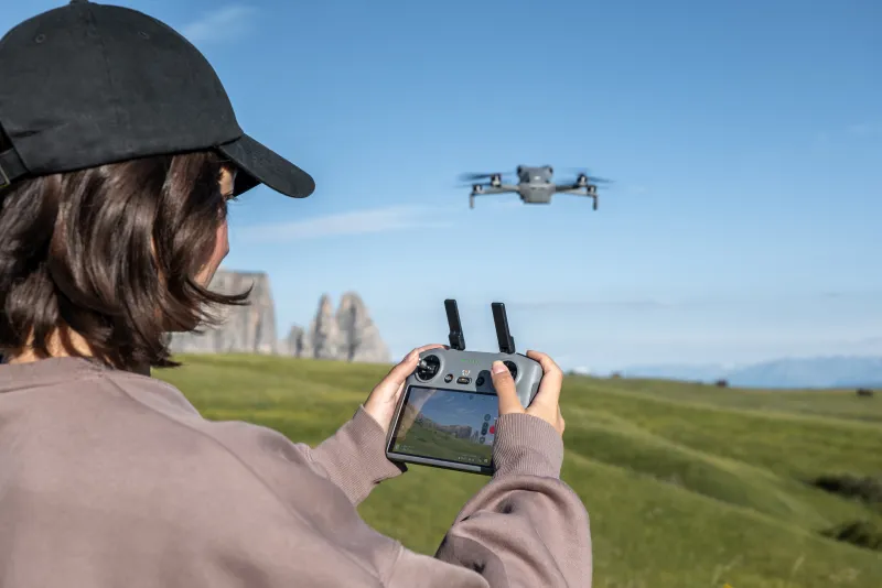
Remote ID: is your drone compliant?
Look up a model and see whether Remote ID is built in or needs a broadcast module. In force since September 2023; enforced after March 16, 2024.
Checked weekly
Drone laws by state
What each state's own code adds to the FAA's rules, one state at a time: privacy, prisons and other no-fly places, hunting, police drones, and whether cities may set their own rules.
Checked weekly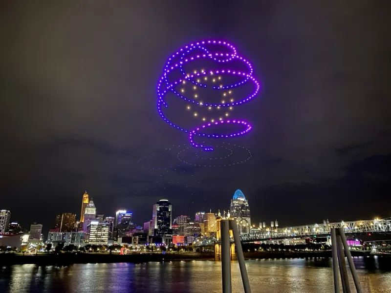
Drone light shows near you
Announced public drone shows by state and month, the Fourth of July among them, and what a show of your own costs.
By state and month
News is a dated log of what changes where, what or how you can fly; each entry names its source. Go to News
How the answer is decided What the check reads, and how it turns that into GO, CAUTION or NO-GO
One verdict for one spot, one drone and one rulebook, from public data read at the moment you ask.
- What it reads
- FAA airspace classes, airports and the LAANC grid heights of the UAS Facility Maps, temporary flight restrictions, special-use and prohibited areas, national security restrictions, stadiums and their events, national park units and other protected land; the National Weather Service forecast for the spot; NOAA's Kp index; USGS ground height; Census place names.
- How it decides
- Each row is judged against the federal rule that applies under the rulebook you chose: Recreational (49 U.S.C. 44809) or Part 107 (14 CFR part 107). The verdict is the strictest row. GO needs every row to be GO. CAUTION means there is something to do or check first, for example a LAANC authorization. NO-GO means a rule or a restriction forbids the flight. “Cannot decide” means a fact the check needs is missing or too close to call, for example a source that could not be read or an airspace floor just above the flight height: missing data never gives GO.
- Flying conditions are advice
- Wind, the Kp index and temperature are judged against the drone maker's ratings and our own margins, not FAA rules; they can still turn the verdict to CAUTION or NO-GO.
- What the map draws
- The map draws airspace that starts at the surface, airports, temporary flight restrictions and stadium event areas, and a 10 NM ring around the spot; it is a drawing, not for navigation.
- What it is not
- The FAA's B4UFLY service shows recreational flyers where they can and cannot fly; companies the FAA has approved provide B4UFLY services through desktop and mobile apps. Windhorse is independent: it is not one of those companies and it cannot issue a LAANC authorization. When the check says you need one, ask for it in the app of an FAA-approved UAS Service Supplier of LAANC (Low Altitude Authorization and Notification Capability), or through FAADroneZone where LAANC does not serve the airport.
Rules checked against their sources on ; data read live at each check; the sample on this page is dated.
What each service is sentQuestions people ask
Do I need an FAA license if my drone is under 250 g?
Flying only for fun: no pilot certificate at any weight, but you must pass TRUST, the free online safety test, and keep the proof with you. A drone of 0.55 lb (249 g) or less flown only for fun needs no registration. Any other flight falls under Part 107: you need a remote pilot certificate, or must fly under the direct supervision of someone who holds one, and the drone must be registered whatever it weighs.
Can I fly a drone in my local park?
The FAA governs the air; whoever runs the park governs taking off and landing on its ground. National parks ban launching, landing or flying drones from park land and water; some allow drones in set areas or with a permit. State, county and city parks set their own rules, so read the park's rules or ask its office. The check above covers the airspace over the park and tells you when the spot lies in a national park unit.
Is it legal to fly a drone around my neighborhood?
Usually, when the airspace allows it. In Class G airspace you may fly up to 400 ft above the ground with no authorization. Near an airport, in controlled airspace, you need authorization first, often through LAANC. The operator, or a visual observer working with them, must keep the drone in sight the whole flight. State and local laws may add rules about privacy and about flying low over private property.
Will the FAA know if I fly my drone?
A drone that is registered, or has to be, must broadcast Remote ID; without it, it may fly only inside an FAA-recognized identification area (FRIA). A drone with built-in Remote ID broadcasts its identity, its position and height, its speed and the position of its controls. Anyone nearby with a receiver can pick that up. A LAANC authorization is also a record of where and when you asked to fly.
Sources
Data the check reads
- Federal Aviation Administration, open data: airspace classes and boundaries, the UAS Facility Maps, special-use and prohibited areas, national security flight restrictions, airports, stadiums, FAA-recognized identification areas and recreational flyer fixed sites
- FAA temporary flight restrictions: a copy of the FAA's list, served from this site
- FAA stadium event list: events at stadiums near the spot
- National Park Service unit boundaries: whether the spot lies in a national park unit
- Protected Areas Database of the United States (U.S. Geological Survey): who manages the land at the spot
- National Weather Service forecast: wind, gusts, temperature, visibility and cloud for the spot
- NOAA Space Weather Prediction Center, planetary K index: the Kp index and its forecast
- U.S. Geological Survey, elevation service: the ground height at the spot
- U.S. Census Bureau, TIGERweb: the state, county and town of the spot
Laws and FAA guidance it applies
- 49 U.S.C. 44809, Exception for limited recreational operations: the Recreational rules
- 14 CFR part 107, Small unmanned aircraft systems: the Part 107 rules
- 14 CFR part 48, Registration and marking requirements for small unmanned aircraft: registration
- 14 CFR part 89, Remote identification of unmanned aircraft: Remote ID
- 14 CFR 91.137 to 91.145, 14 CFR 99.7, 49 U.S.C. 44812 and 18 U.S.C. 40A: temporary flight restrictions, security restrictions and wildfires
- 14 CFR part 93, subpart V: the Washington DC special flight rules area
- 36 CFR 1.5, Closures and public use limits, with NPS Reference Manual 60, chapter 12, Uncrewed Aircraft Systems: national parks
- 16 U.S.C. 1133(c), Wilderness Act: wilderness areas
- FAA Advisory Circular 91-57D and FAA Advisory Circular 107-2A: the FAA's guidance for recreational flyers and for Part 107
Photos: DJI press images. Product photos by Antigravity, DJI, HOVERAir and Potensic. Wikimedia Commons: Barry Dale Gilfry (CC BY-SA 2.0) and Warren LeMay (CC BY-SA 2.0).